
While this map was created almost the same way as all the other maps in the collection on Steam, each map brings new challenges. To capture the whole process, I decided to create a making-of video:
The borders for the map were taken from OpenStreetMap and screened with the Windows snipping tool. These images can now be opened in the editor of Cities, if they are relocated in the heightmap folder. I had to zoom out very far to bring the entire USA into 25 map tiles. As a result, the borders of the states were no longer displayed. So I zoomed in closer and created another screenshot. Then I combined these two screenshots in Paint.NET (like Paint, just better), so that they are congruent.
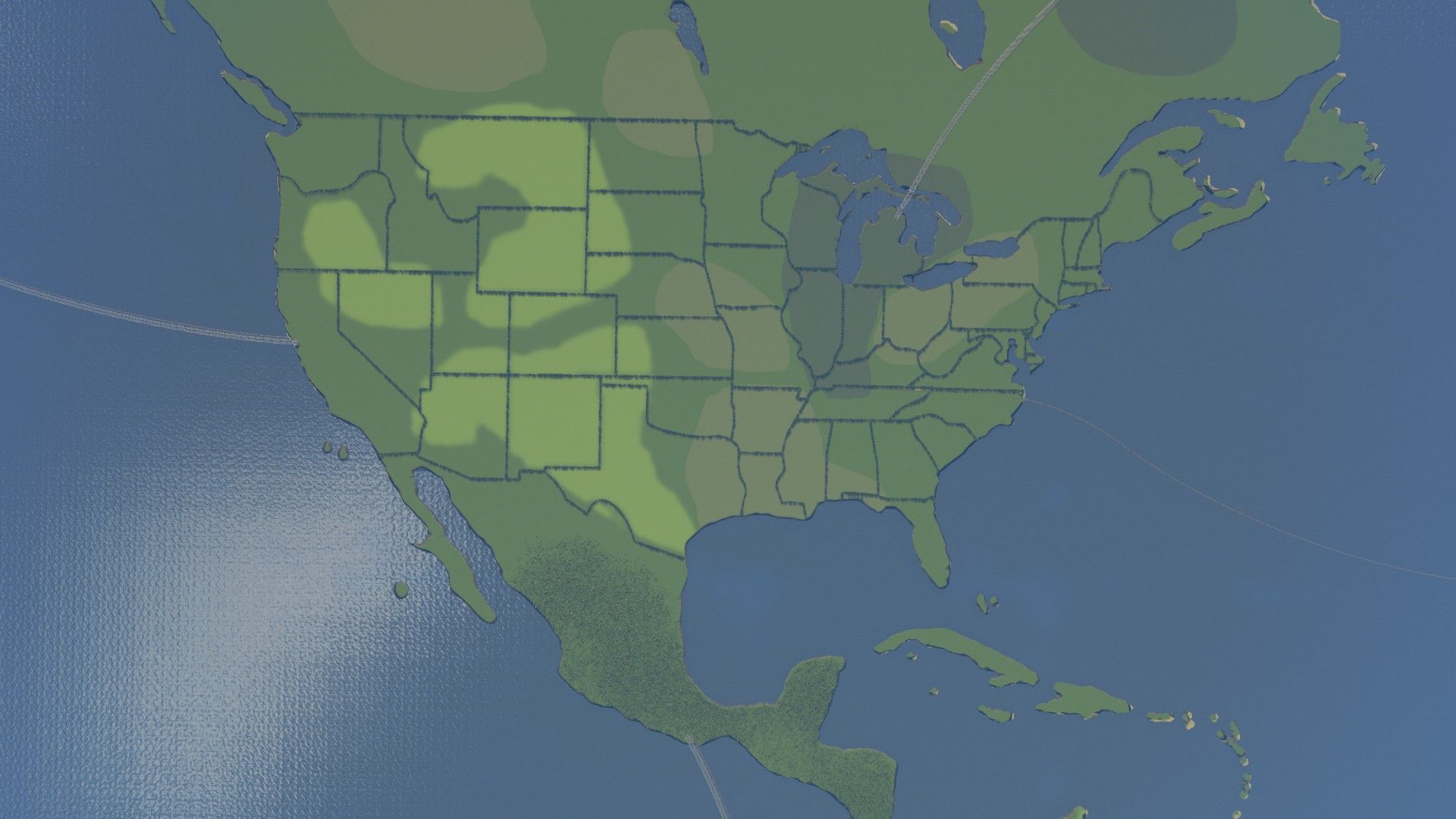
Now, I had a heightmap that fits the size of 25 tiles and displays the borders of the states. However, it did not yet have the right height to add some water. After some tweaking, I came out of it with this:
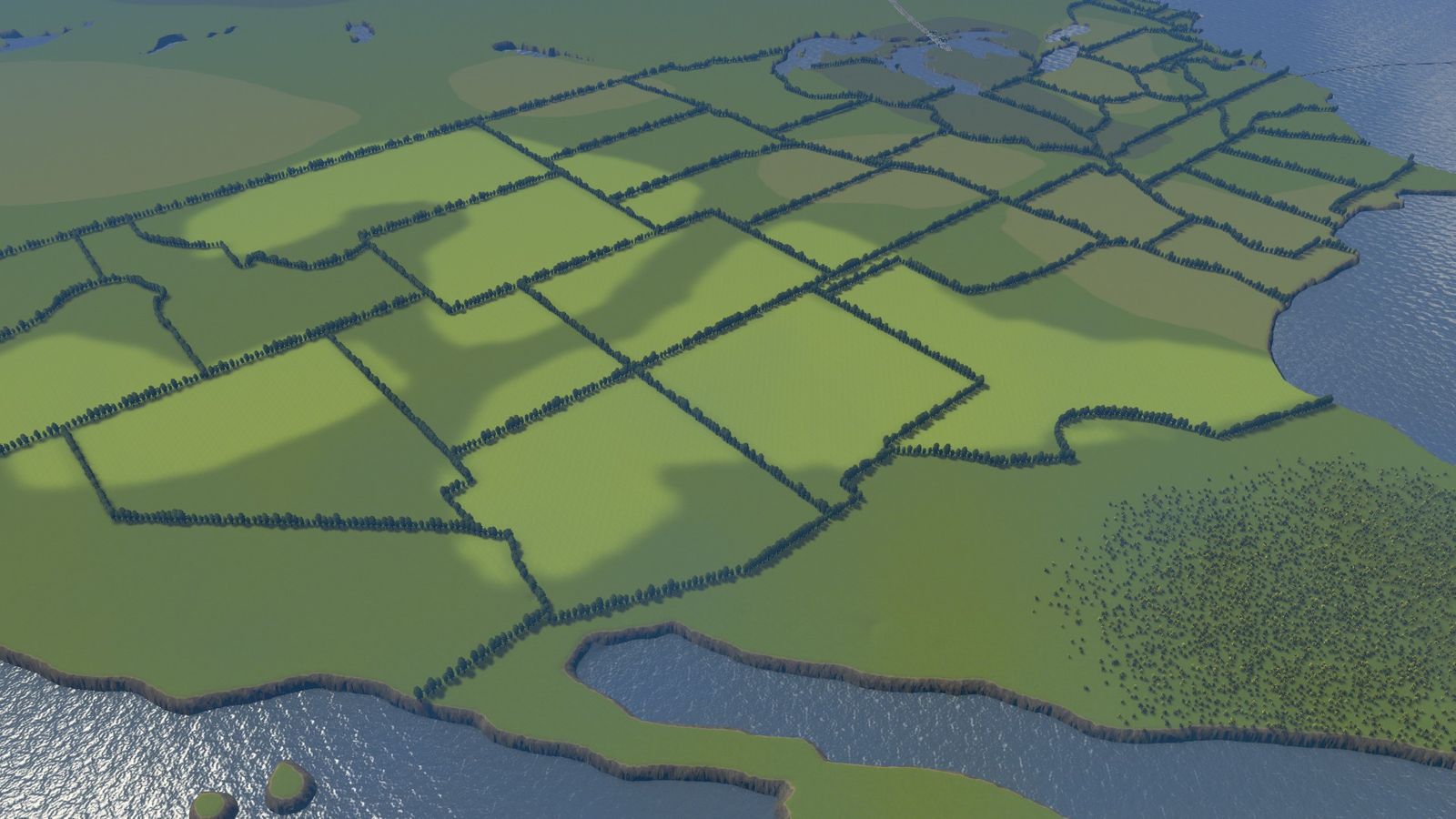
Now the task was to mark the state borders. It has been efficient to follow these with lines of trees, so that they are still visible after smoothing the landscape. Fortunately, in order not to place each tree individually, there is the Mod Prop Line Tool, which makes it possible to place several same objects in lines and curves. So you can put a whole bunch of trees at once on the map.
The map is close to being finalised, but now comes a little more effort. So that the map also looks nice, all bumps must be flattened out. This makes the trees look really good. Important are still oil, ore, as well as fertile land, to offer something to the economy of the city. Last but not least, the Cims also need highways and rails for public transport to access the map at all.
The final result of the map can for sure be seen!


If you press this button it will load Disqus-Comments. More on Disqus Privacy: Link