
If you want to import a heightmap in Cities: Skylines, you can easily do this with the help of the website terrain.party. The maps that terrain.party uses are free for everyone to use from OpenStreetMap. If you visit the link the whole thing looks like this:
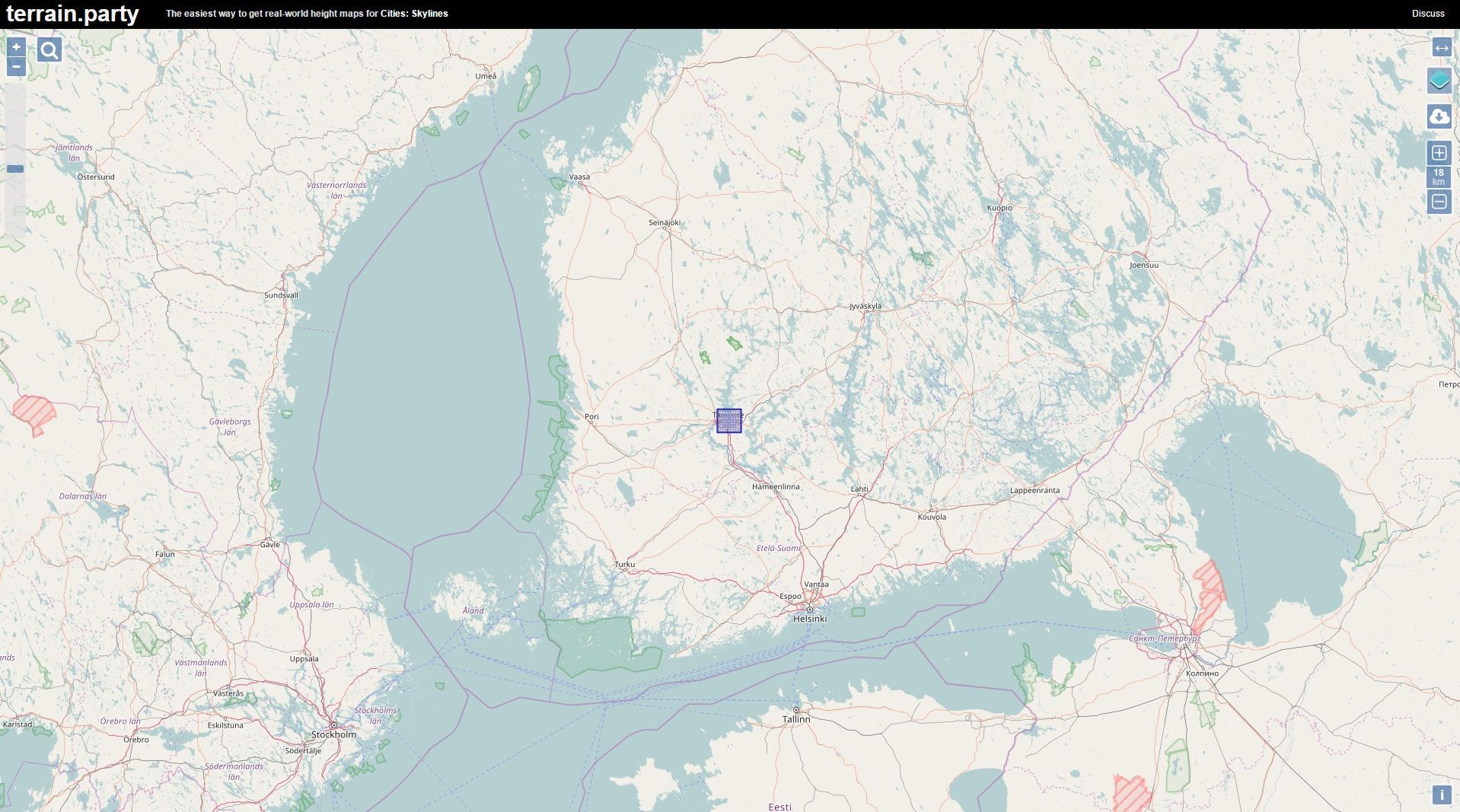
The small blue square in the middle represents the grid of a Cities: Skyline's map. It can be positioned by zooming and drag-and-drop. At the top right you can set the size of the grid. A minimum of eight, a maximum of 60 kilometers can be set. 60 kilometers would correspond to an area of 60km * 60km.
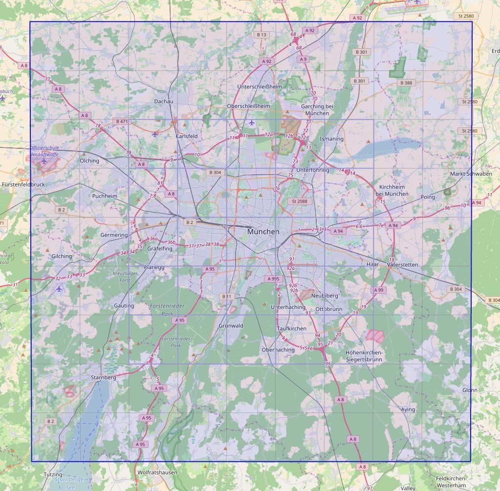
For example, you could put the grid over the city of Munich. Here it can be seen that the grid is divided into two parts. Inside are 25 spaces that can be unlocked in the game (but not all at once unless a 25 tiles mod is used). The remaining parts of the square can not be built on, unless you use a 81 tiles mod.
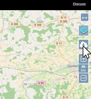
At the top right click on the Export button.
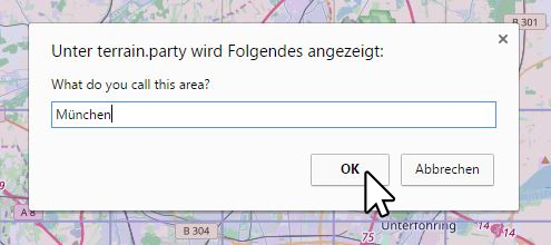
This dialog opens. Here you can give the area any name. Click on OK to start the download.
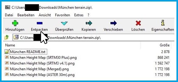
The Zip archive contains four different elevation maps, all of which are slightly different. Unpack the archive.
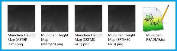
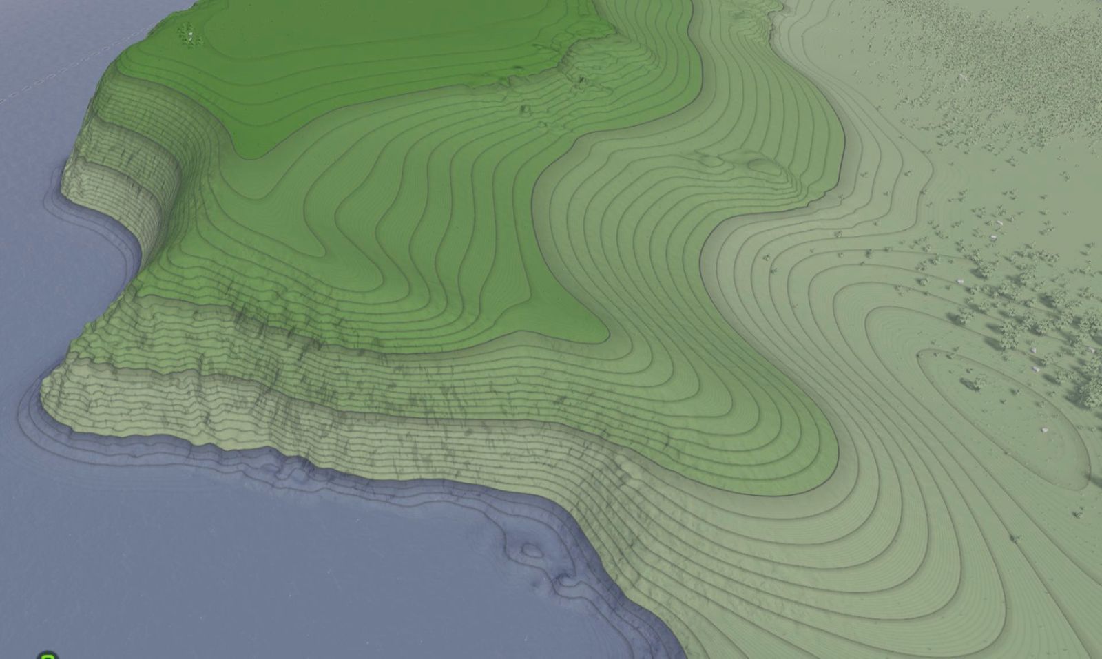
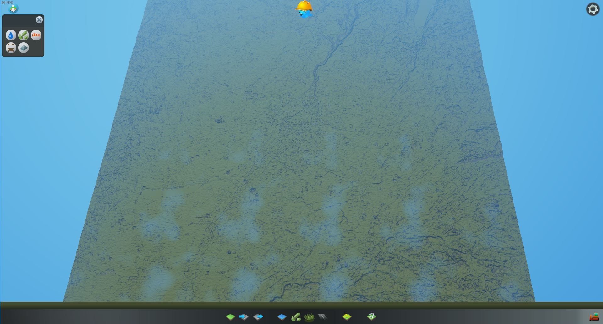
This is how the unpacked heightmaps look like. Next, the map editor in Cities: Skylines needs to be opened.
Import the Heightmap
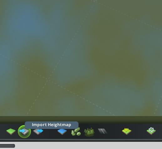
At the bottom of the menu press the button Import Heightmap.
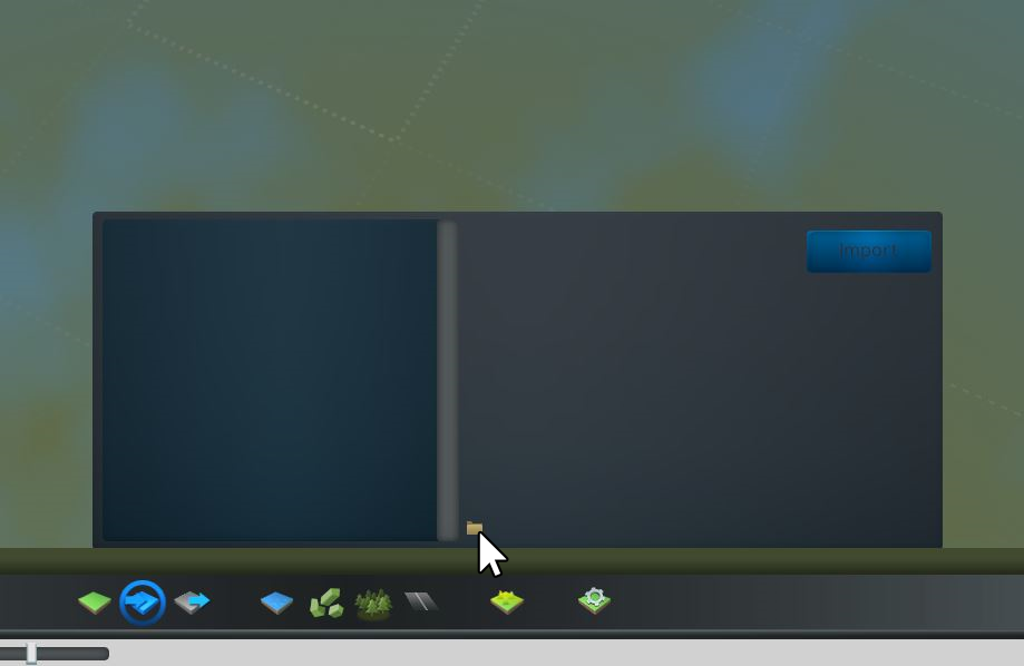
A small window opens. Down in the middle is a small yellow folder icon. If you click on the symbol, the heightmap folder will open. Alternatively you can find this folder under the following path:
C:\Users\Username\AppData\Local\Colossal Order\Cities_Skylines\Addons\MapEditor\Heightmaps
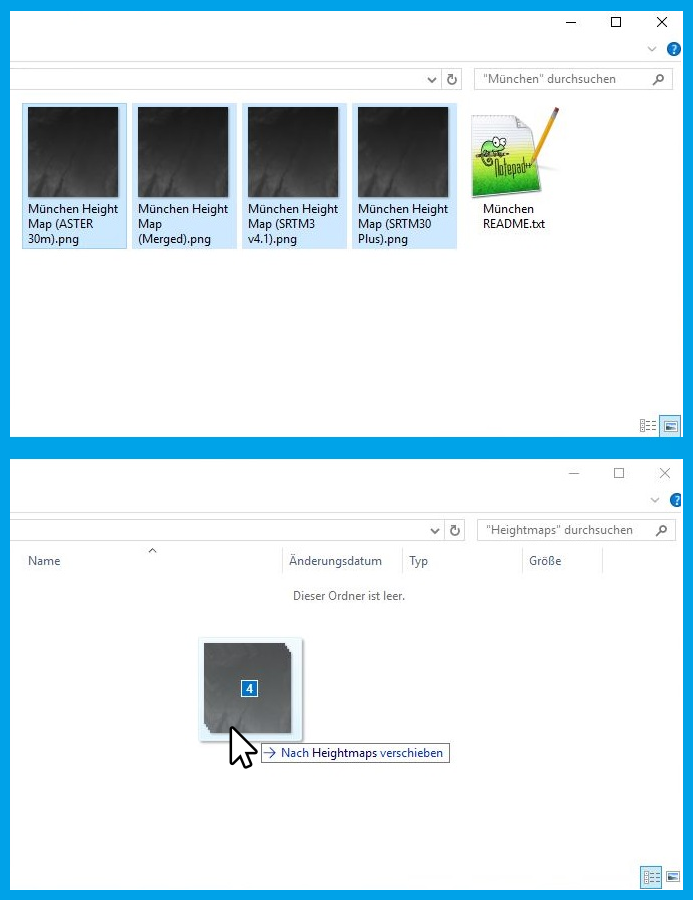
The unzipped height maps from before have to be dragged into the heightmap folder.
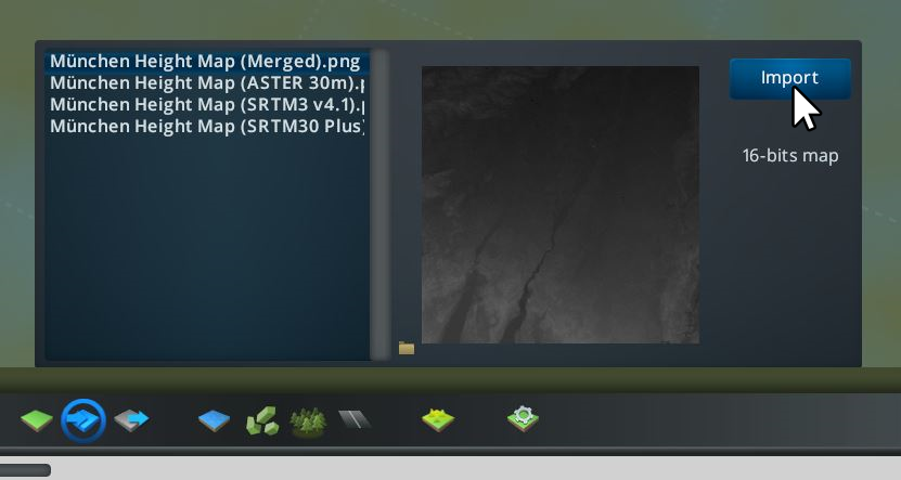
Going back into the game, the four height maps appear in the tab that was empty a moment earlier. Now you can import the first map.
Different Datasets
The Merged-Version offers a mix of ASTER 30m, USGS NED 10m and SRTM30+

The ASTER 30m elevation map provides the most up-to-date elevation data of the earth. With a resolution of about 30 meters, it can be used to accurately model a landscape, but the map is sometimes incomplete.
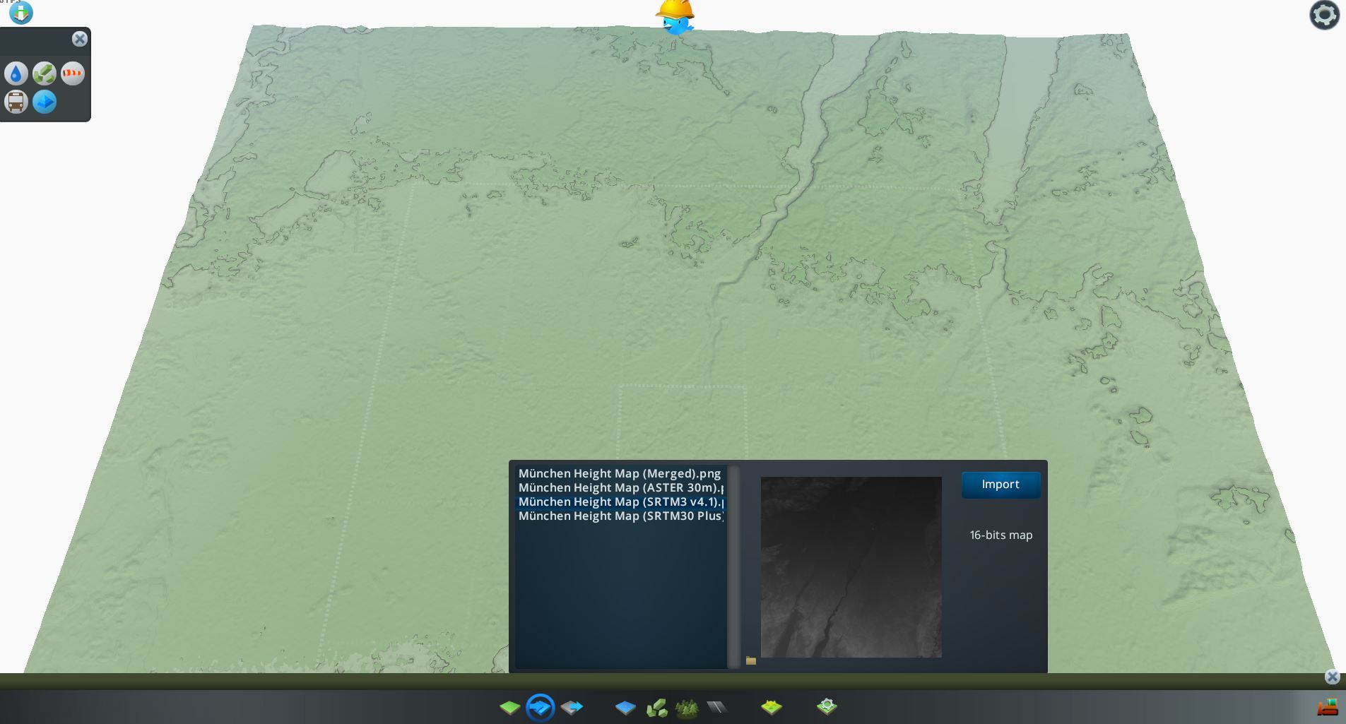
STM3 v4.1 provides a resolution of 30 meters for data within the US and 90 meters resolution for the rest of the world.
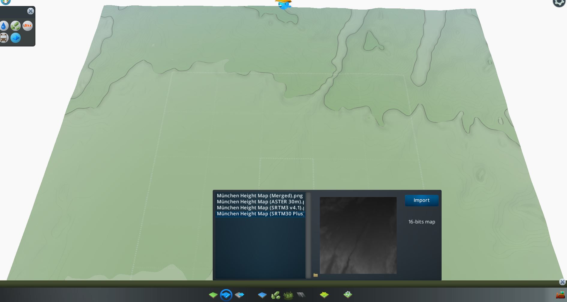
The SRTM30+ Heightmap has a resolution of 900 meters, so it is not well suited for accurate modeling. It is the better, if you want to represent large areas where not every detail matters.
More datasets:
Scankort Denmark DTM: Denmark in a resolution of 1.6 meters.
USGS NED 10m: USA in a resolution of 10 meters.


If you press this button it will load Disqus-Comments. More on Disqus Privacy: Link